Tropical Storm Remnants to Bring Rain, Thunderstorms, and Winds to Arizona
The remnants of Tropical Storm Rachel are forecast to bring rain, thunderstorms, and strong winds to Arizona, with a slight risk of severe weather and isolated tornadoes west of the Phoenix Valley. Wind advisories and a flood watch are in…

 Phoenix, AZ, October 10, 2026 —
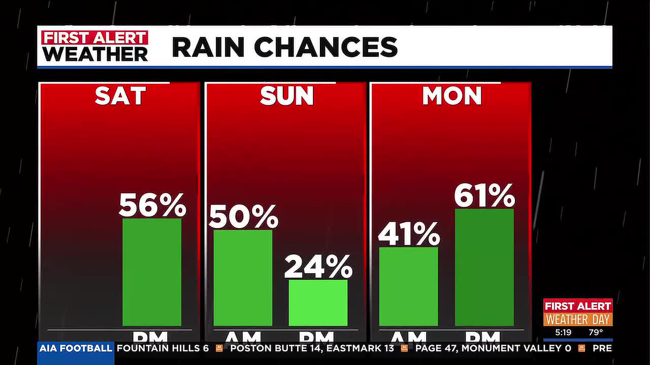
Residents across Arizona are bracing for the potential impact of the remnants of Tropical Storm Rachel, which are forecast to deliver significant weather changes starting this weekend. The storm system is expected to bring widespread rain, thunderstorms, and strong winds to many parts of the state.
Meteorologists have indicated a slight risk of severe weather, including the possibility of isolated tornadoes developing west of the Phoenix Valley. This localized threat highlights the unpredictable nature of weather systems moving inland.
In anticipation of these conditions, several weather advisories and watches have been issued. Wind advisories are in effect for various regions, warning of potentially hazardous gusts that could impact travel and outdoor activities. Additionally, a flood watch has been issued, cautioning that heavy rainfall could lead to flash flooding in susceptible areas. These advisories and watches are scheduled to remain active through Sunday night.
Specific details regarding the exact timing and intensity of the rainfall and wind gusts are still being monitored by weather agencies. Residents are advised to stay informed through local weather reports and to take necessary precautions to ensure safety. The contractor’s name involved in storm preparedness was not provided. The specific fine amounts for any potential violations were also not provided.
Officials are urging the public to be prepared for potential disruptions and to secure any outdoor items that could be affected by strong winds. Information regarding evacuation orders or specific storm damage reports was not available at the time of reporting.
Story summarized from the original created by Pete Mangione on www.azfamily.com, see more information here.
Media gallery